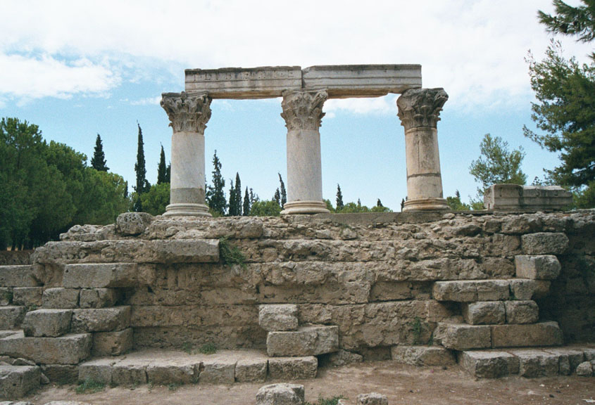
Divider

Ancient Corinth

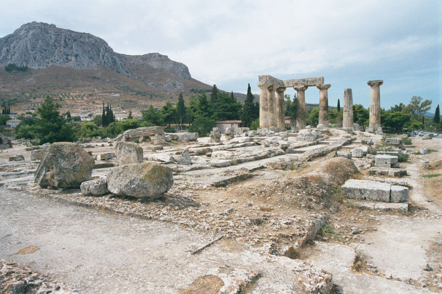
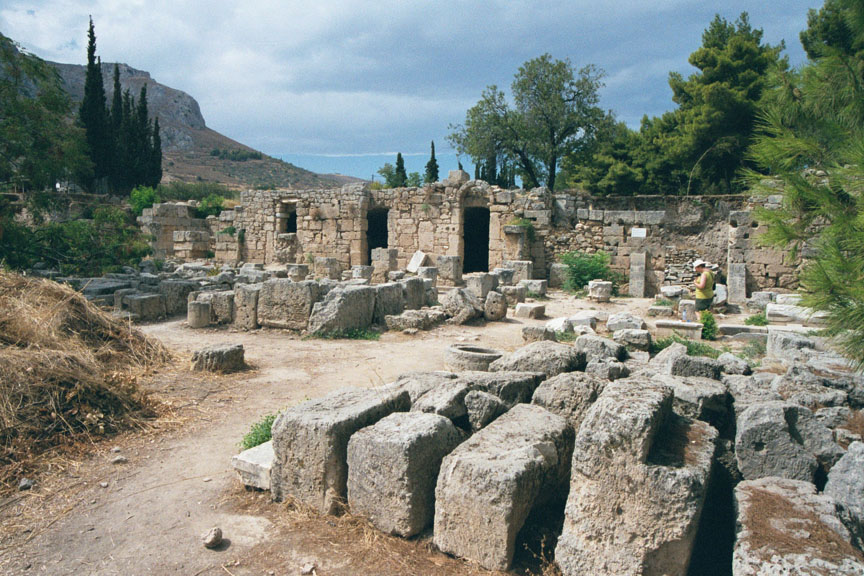
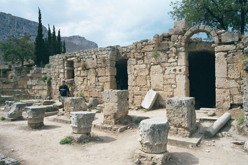
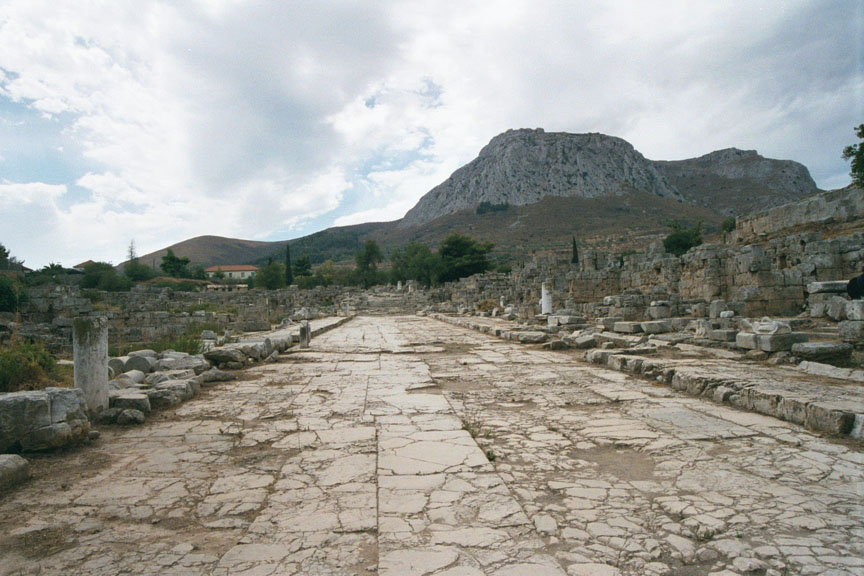
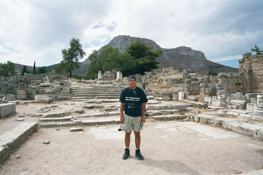
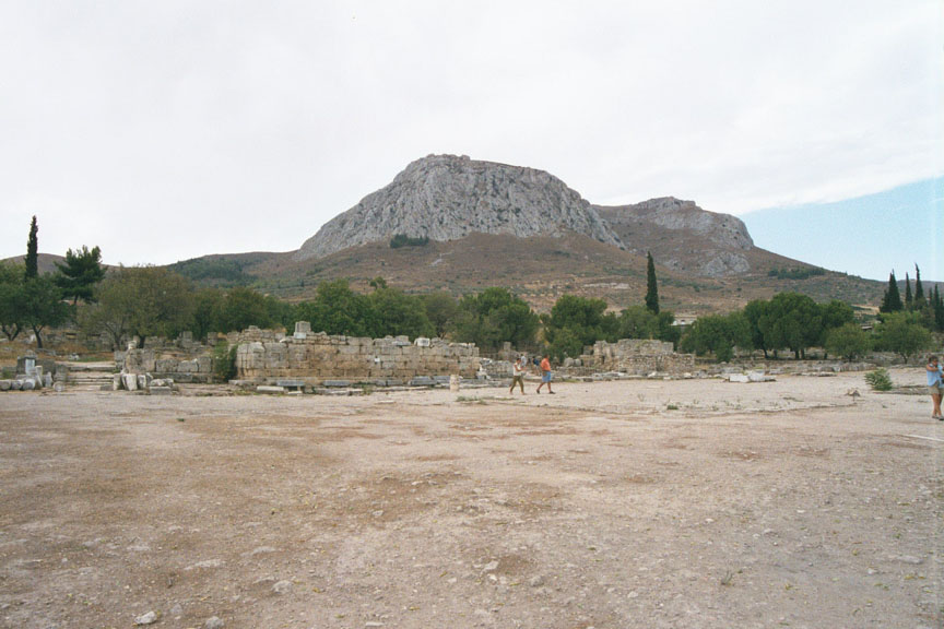
The ruins of Ancient Corinth are spread out at the foot of the huge rock of Acrocorinth. Ancient Corinth derived its prosperity from its position on the narrow isthmus between the Saronic and Corinthian gulfs. Transporting goods across the isthmus, even before the canal was built, provided the shortest route from the eastern Mediterranean to the Adriatic and Italy. Founded in Neolithic times (5000-3000 BCE), its history is obscure until the early 8th century BCE, when the city-state of Corinth began to develop as a commercial center. Until it was eclipsed by Athens in the 5th century BCE, Corinth was the biggest and wealthiest classical Greek city-state, with two bustling ports, a famous ceramics industry and distant colonies in Syracuse in Sicily and 
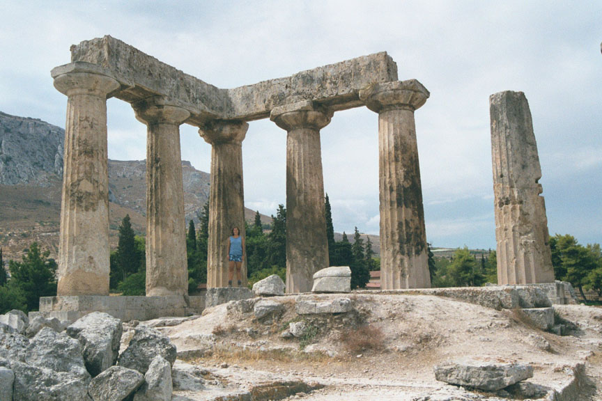
Kerkyra on Corfu. The town was prosperous until it was razed in 146 BCE by the Roman general, Lucius Mummius. In 44 BCE, Julius Caesar rebuilt Corinth 
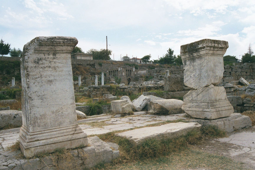
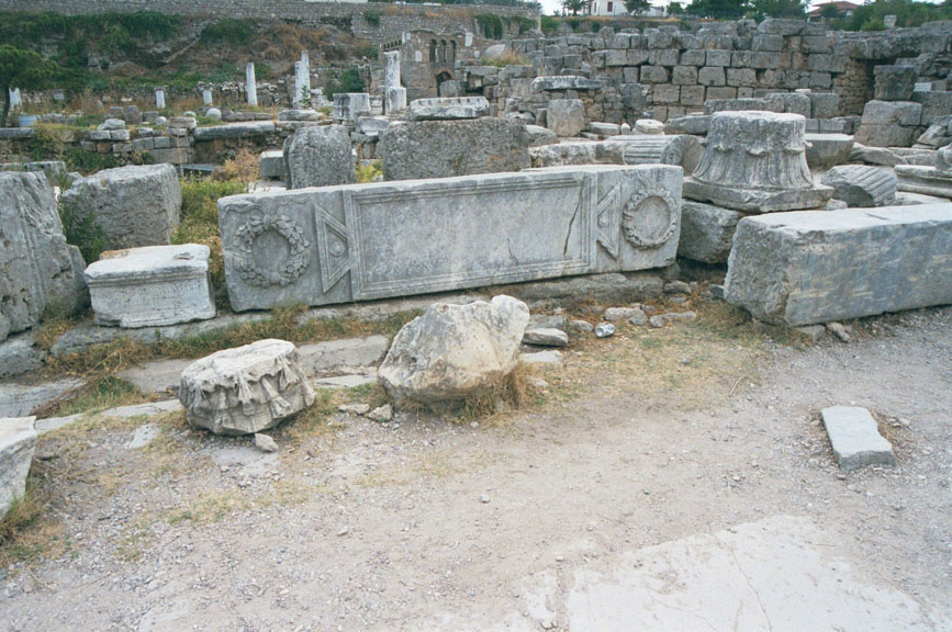
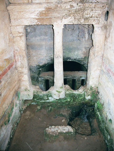
as a Roman colony. Consequently, the remaining monuments are mainly Roman; only a few are Greek. Attaining a population of 750,000 under the patronage of the emperors, the town gained a reputation for licentious living that St. Paul attacked when he came here in 52 CE. 
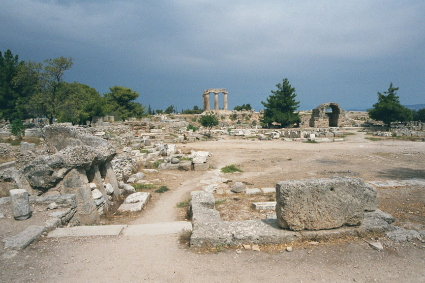
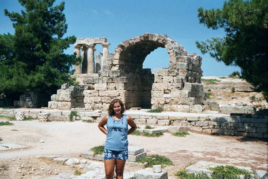
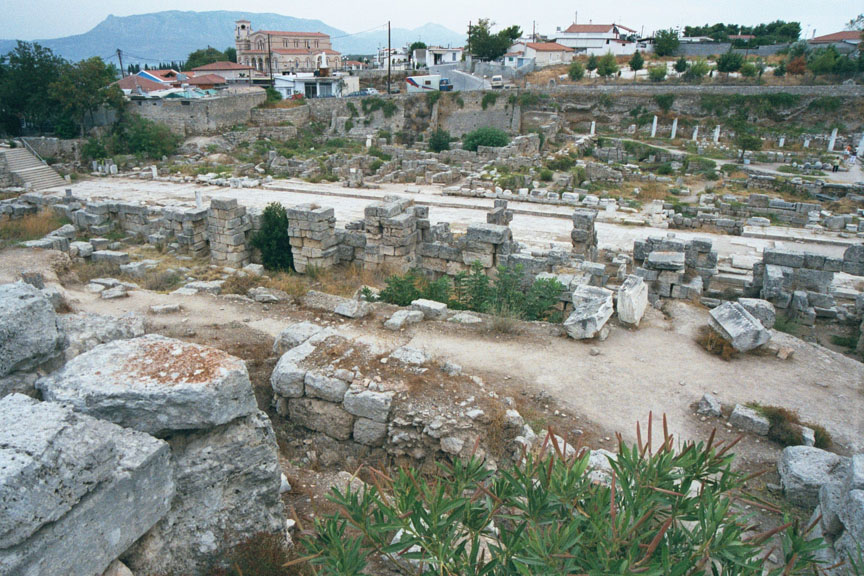
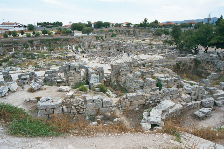
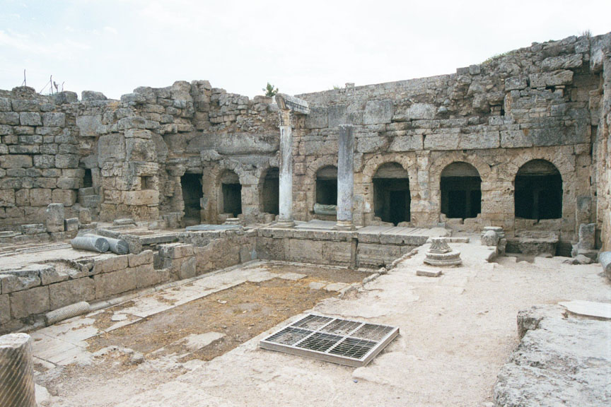
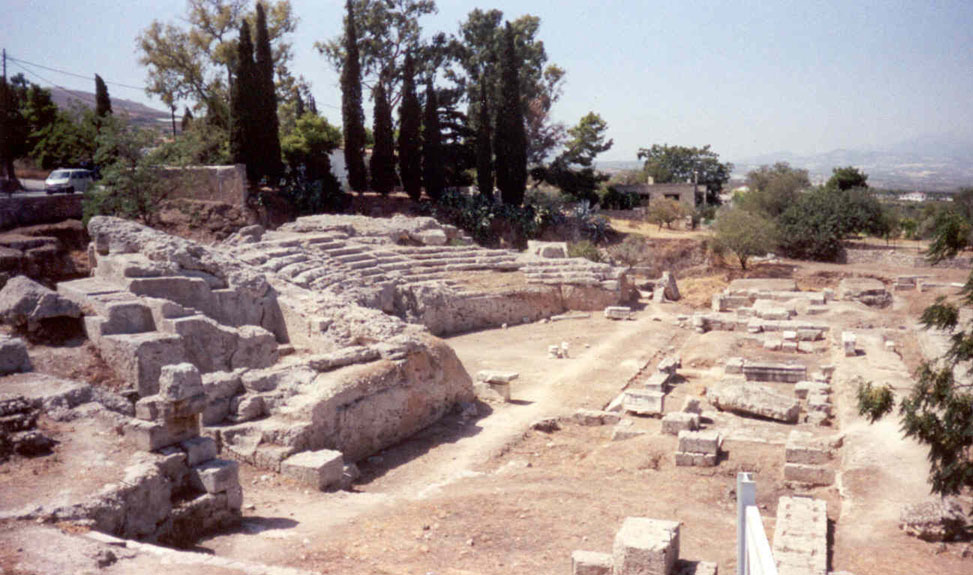
Excavations have revealed the vast extent of the city, destroyed in Byzantine times by earthquakes. The ruins constitute the largest Roman township in Greece.

Click on the thumbnails below in order to see pictures of Ancient Corinth.  Use your browser's back button to return to this page.

Temple of Apollo & AcrocorinthThe Temple of Apollo and the Acrocorinth. The steep, rocky hill that was the acropolis of ancient and medieval Corinth is 575 meters (1,886 feet) high at its highest peak.

Doric columnsThe monolithic Doric columns surviving from the peristyle of the Temple of Apollo. The temple dates to c. 550 BCE and was one of the few buildings preserved by the Romans when they rebuilt the site.

The Temple of ApolloThe Temple of Apollo (background) stands on a knell to the north of the agora (foreground).
AgoraPart of the agora of Ancient Corinth with the northwest shops and the Temple of Apollo on the leveled area in the background. The west shopsThe west shops The west shopsThe west shops
The Lechaion WayThe Lechaion Way. This marble paved road linked the port of Lechaion with the city, ending at a still surviving stairway and an imposing propylaea. The Lechaion WayThe Lechaion Way. It was paved with flagstones and lined with sidewalks, arcades and shops. Lechaion WayThe paved Lechaion Way, with its footpaths and gutters.
Lechaion Way stairwayThe steps at the end of the Lechaion Way leading into the agora. The Acrocorinth can be seen in the background. Monuments along the Lechaion WayMonuments along the Lechaion Way. Monuments along the Lechaion WayMonuments along the Lechaion Way.
Spring of PeireneThe ruins of the spring of Peirene built during the Roman Imperial period. In the background are six arched openings through which one went down to the bowls carved in the rocks to draw water. Spring of PeireneInside one of the arches of the spring of Peirene. AgoraThe agora with the  Acrocorinth in the background.
Ancient CorinthAncient Corinth Temple of OctaviaRemains of the large peripteral Temple of Octavia. The temple was built on a podium surrounded by stoas. These three ornate Corinthian columns, overarched by a restored architrave, are all that remain of the temple, dedicated to the sister of the Emperor Augustus Roman OdeionThe Roman Odeion of ancient Corinth.

 
Back to the Peloponnese

Rings page   Grisel's Home Page   Email Grisel

Go to the Corinth Canal

Sign Guestbook   Guestbook   View Guestbook

© All pictures are Copyright 2000 Grisel Gonzalez and Jeff Prosise